Project — wrap.org.uk/taking-action/food-drink/initiatives/courtauld-c...
|
Location
Click Icon to Show on Map
|
City & Country |
|---|---|
|
,
|
()
|
| Countries: | United Kingdom of Great Britain and Northern Ireland |
|---|---|
| Basins: | -- |
|
Project SDGs:
Includes Sustainable Development Goals from the project and its locations.
|
Water Quality (SDG 6.3)
Protect and Restore Ecosystems (SDG 6.6) |
|
Project Tags:
Includes tags from the project and its
locations.
|
Dairy and Livestock
Groundwater Soil Erosion and Health Nature-Based Solutions Replenishment |
| Progress to Date: | 2,307,398,783 Litres of water returned to communities and nature |
| Services Needed: |
Policy advocacy
Communications & outreach Financial support |
| Desired Partners: |
Business
NGO / Civil Society |
| Language: | English |
| Start & End Dates: | Apr. 01, 2018 » Ongoing |
| Project Website: | wrap.org.uk/taking-action/food-drink/initiatives/courtauld-c... |
| Contextual Condition(s): | Quality, Quality, PHYSICAL: Ecosystem vulnerability or degradation |
| Additional Benefits: | Long-term partnership(s) created, Raised awareness of challenges among water users |
| Beneficiaries: | Ecosystems, Agricultural growers, Local communities / domestic users |
| Primary Funding Source: | pool |
| Project Source: | User |
| Profile Completion: | 77% |
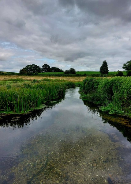
This collective action project convened by WRAP and located in the UK is delivered by Norfolk Rivers Trust in partnership with a range of food & agricultural businesses. These catchments are situated in the centre of the Anglian River Basin District, and are key sourcing areas for pig and poultry production, potatoes, vegetable & salad crops as well as cereals (wheat, barley, and oats), oil seeds and sugar beet. Diffuse pollution from agriculture has been identified …

Zac Battams
Head of Operations
Norfolk Rivers Trust
| Basin and/or Contextual Conditions: | Quality, Quality, PHYSICAL: Ecosystem vulnerability or degradation |
|---|---|
| Project Benefits: | Long-term partnership(s) created, Raised awareness of challenges among water users |
| Indirect or Direct Beneficiaries: | Ecosystems, Agricultural growers, Local communities / domestic users |
| Primary Funding Source: | Pool funding (i.e., joint funding of several partners) |
None found.
 Loading Lessons