Project — slu.edu/water
|
Location
Click Icon to Show on Map
|
City & Country |
|---|---|
|
,
|
()
|
| Countries: | United Kingdom of Great Britain and Northern Ireland, United States of America |
|---|---|
| Basins: | Mississippi (427) |
|
Project SDGs:
Includes Sustainable Development Goals from the project and its locations.
|
Integrated Water Resource Management (SDG 6.5) |
| Progress to Date: | In Progress: Development and deployment of modeling tool. |
| Services Needed: | No services needed/offered |
| Desired Partners: |
Academic Institution
Government |
| Language: | English |
| Start & End Dates: | Jan. 01, 2019 » Ongoing |
| Project Website: | slu.edu/water |
| Project Source: | User |
| Profile Completion: | 72% |
This is a collaborative project with University of Portsmouth (PI), University of Nottingham (Co-PI), and U.S. Army Corps of Engineers (sponsor).
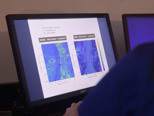
Rivers are dynamic systems that change over time in response to environmental and water management factors. River channels respond to disturbances in a variety of ways such as changing channel size, slope along the flow path, and bed and bank materials. Forecasting these changes over many decades is challenging due to the variable …

Amanda Cox
Director
WATER Institute, Saint Louis University
Water Institute, Saint Louis University (Organization)
The Water Access, Technology, Environment and Resources (WATER) Institute is an interdisciplinary research Institute launched at Saint Louis University in June 2020 with the mission of advancing water innovation to serve humanity. The Institute brings together world-class researchers to solve … Learn More
 Loading Lessons