Project — slu.edu/water
|
Location
Click Icon to Show on Map
|
City & Country |
|---|---|
|
,
|
()
|
| Countries: | United States of America |
|---|---|
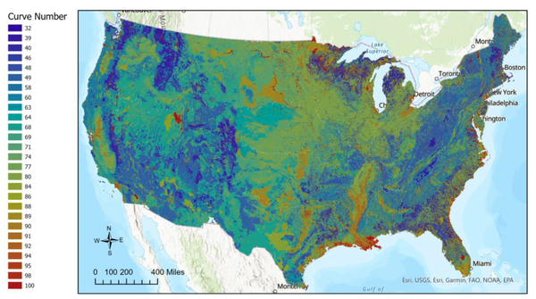
| Basins: | Arkansas & White River |
|
Project SDGs:
Includes Sustainable Development Goals from the project and its locations.
|
Integrated Water Resource Management (SDG 6.5)
Climate Resilience and Adaptation (SDG 13.1) |
|
Project Tags:
Includes tags from the project and its
locations.
|
Drought Management
Water-Related Vulnerability Assessments Sustainable Withdrawals |
| Progress to Date: | Completed: Machine learning (ML) algorithms were successfully applied to data, and models were developed to predict capacity loss. |
| Services Needed: | No services needed/offered |
| Desired Partners: |
Business
Government NGO / Civil Society |
| Language: | English |
| Start & End Dates: | Aug. 01, 2020 » Dec. 01, 2021 |
| Project Website: | slu.edu/water |
| Contextual Condition(s): | PHYSICAL: Insufficient municipal water supply, PHYSICAL: Inadequate infrastructure, PHYSICAL: Disaster preparation and resilience |
| Additional Benefits: | Better / more data on river basin conditions, Raised awareness of challenges among local authorities |
| Beneficiaries: | Water utilities, Other utilities, Environmental users (e.g., fishers, recreational users), Local communities / domestic users, Other |
| Project Source: | User |
| Profile Completion: | 82% |
This is a collaborative project with University of Iowa (Co-PI) and U.S. Army Corps of Engineers (sponsor).
Background: Reservoirs are a vital component of our nation’s water-resources infrastructure, yet many reservoirs across the nation are slowly filling with sediment, reducing their effectiveness and increasing maintenance costs. Water-resources managers must develop sustainable sediment management plans for reservoirs to ensure the continuation of reservoir functions, w…

Amanda Cox
Director
WATER Institute, Saint Louis University
| Basin and/or Contextual Conditions: | PHYSICAL: Insufficient municipal water supply, PHYSICAL: Inadequate infrastructure, PHYSICAL: Disaster preparation and resilience |
|---|---|
| Project Benefits: | Better / more data on river basin conditions, Raised awareness of challenges among local authorities |
| Indirect or Direct Beneficiaries: | Water utilities, Other utilities, Environmental users (e.g., fishers, recreational users), Local communities / domestic users, Other |
Water Institute, Saint Louis University (Organization)
The Water Access, Technology, Environment and Resources (WATER) Institute is an interdisciplinary research Institute launched at Saint Louis University in June 2020 with the mission of advancing water innovation to serve humanity. The Institute brings together world-class researchers to solve … Learn More
 Loading Lessons